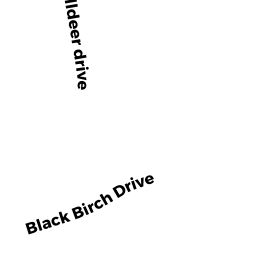
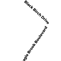
110 BLACK BIRCH DRIVE
Owner Information
MCKENNA CHRISTOPHER J
110 BLACK BIRCH DRIVE
WRENTHAM, MA 02093


Property Details
110 BLACK BIRCH DRIVE is classified as a Single Family Residential (Colonial).
The primary structure on this property was built in 2014. There are 3856ft2 of built area within this property. There is 2008ft2 of residential/living space within this property. This property is listed as having 4 rooms.
110 BLACK BIRCH DRIVE is valued at 504100. The land is valued at 196800 and the structures are valued at 307300.
This property is in Zone 02. Confirm with local Zoning Board authorities to ensure there are no overlays or other easements on this property.
The most recent deed for 110 BLACK BIRCH DRIVE is recorded at the local registrar in Book 32118, Page 529. 110 BLACK BIRCH DRIVE was last sold on 2014-03-14 for 418488.
Assessment data from fiscal year 2022.
Flood Data
According to the FEMA National Flood Hazard Layer, this property does not appear to be in a flood zone. It may also be in an area not yet reviewed. Nonetheless, confirm this information prior to taking any action.
To view the flood hazards around this property, create a FEMA "Firmette" Map of the area around 110 BLACK BIRCH DRIVE.
Broadband Internet Providers
| Provider | Type | Bandwidth (mbps) | |
|---|---|---|---|
| VSAT Systems, LLC. | Satellite | 2 | 1 |
| Crown Castle Fiber | Fiber | 0 | 0 |
| MCI | Copper Wire | 0 | 0 |
| Viasat Inc | Satellite | 100 | 3 |
| Verizon New England Inc. | DSL | 1 | 0 |
| Verizon New England Inc. | Fiber | 940 | 880 |
| XO Communications | Copper Wire | 0 | 0 |
| Comcast | Cable | 1000 | 35 |
| T-Mobile | Fixed Wireless | 25 | 3 |
| GCI Communication Corp. | Satellite | 0 | 0 |
| HughesNet | Satellite | 25 | 3 |
Broadband service provider data from December 2020.
Adjacent Properties
- 85 RED FOX RUN
Single Family Residential owned by SHAH VIRAL - 95 RED FOX RUN
Single Family Residential owned by SIMAO, CARLOS B - 105 RED FOX RUN
Single Family Residential owned by TAMMINENI SREEHARSHA - 100 BLACK BIRCH DRIVE
Single Family Residential owned by TURNER COREY - 120 BLACK BIRCH DRIVE
Single Family Residential owned by BEAVEN, RYAN M